

Lake Ponchartrain Map
Lake Ponchartrain Map
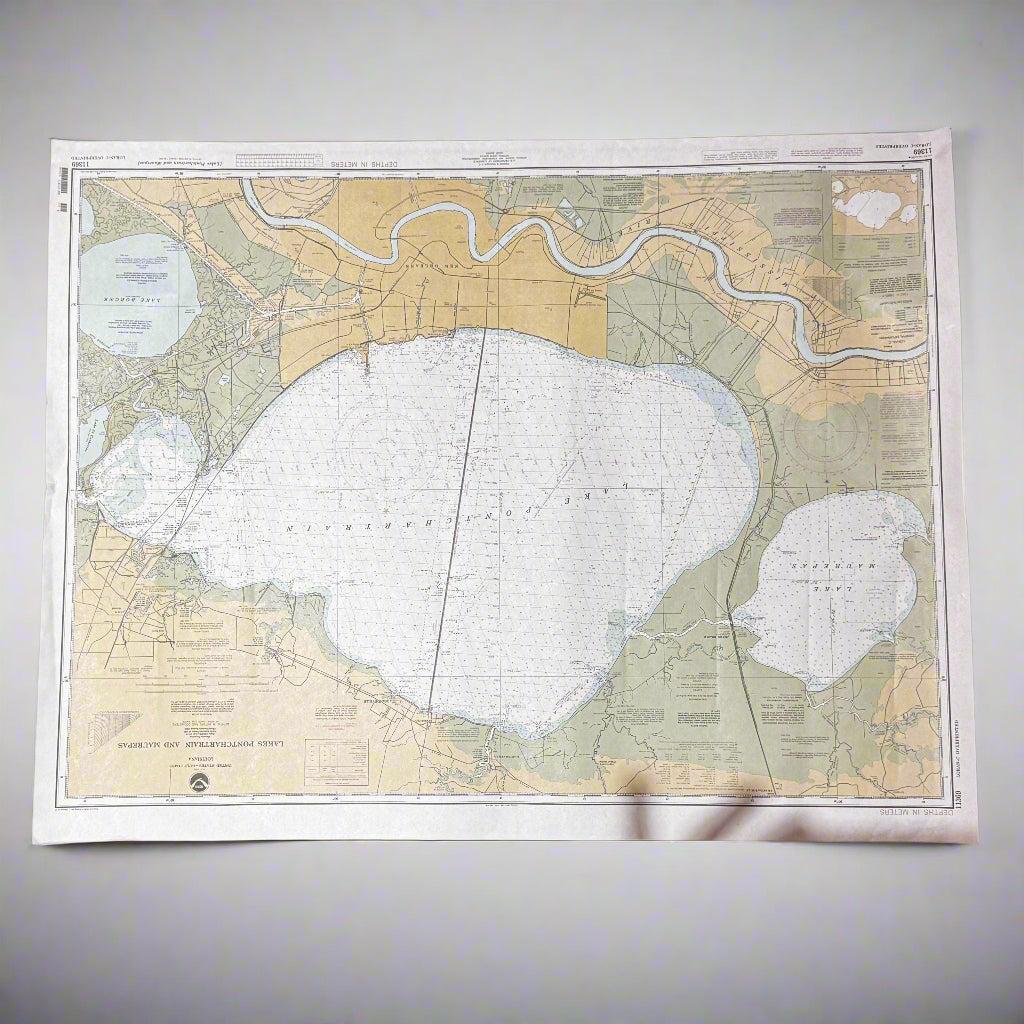
Vintage Nautical Map – Lake Pontchartrain, Louisiana – U.S. Coast & Geodetic Survey Chart
Bring the charm of maritime history into your home or office with this vintage nautical map of Lake Pontchartrain in Louisiana. Published by the U.S. Coast & Geodetic Survey, this chart provides detailed hydrographic and geographic information of Lake Pontchartrain, including waterways, depth soundings, and surrounding areas such as New Orleans and the Mississippi River.
Perfect for collectors of nautical charts, Louisiana history enthusiasts, coastal décor lovers, or anyone with ties to the Gulf Coast, this map offers both historical and decorative appeal. Its muted tones of cream, blue, and green add a timeless aesthetic, making it ideal for framing and display in a study, office, coastal home, or lake house.
Features:
-
Item: Vintage nautical map / chart
-
Subject: Lake Pontchartrain, Louisiana
-
Publisher: U.S. Coast & Geodetic Survey
-
Details: Depth soundings, coastal features, shipping routes, and surrounding land areas
-
Condition: Vintage with age-appropriate wear; paper shows natural patina from time (see photos)
-
Dimensions: Approx. [insert measurement if available]
-
Era: Mid-20th century (exact print year visible on chart edge – see photos)
Why Collectors Love It:
Lake Pontchartrain is a vital waterway in Louisiana history and culture, and original nautical charts are increasingly hard to find. This piece is not only a functional maritime reference but also a stunning decorative statement that captures the essence of Louisiana’s coastal heritage.
Product features
Product features
Materials and care
Materials and care
Merchandising tips
Merchandising tips
Couldn't load pickup availability
Share